Here’s What Caused the Rare, Record Florida Snow
A perfect confluence of an Arctic air outbreak and a low-pressure system that pulled in moisture from the Gulf of Mexico brought rare, record snow to the Gulf Coast
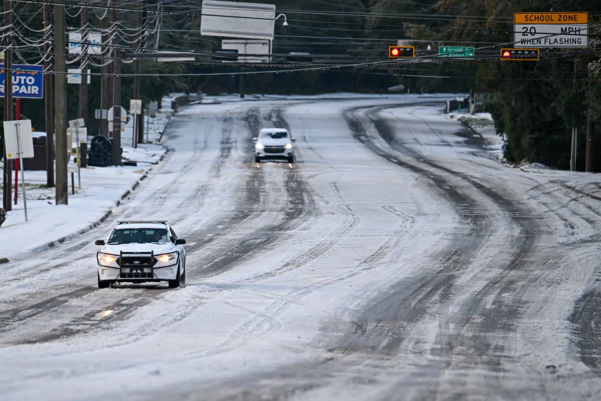
Car drives on snow after snowfall on January 22, 2025, in Tallahassee, Fla.
Join Our Community of Science Lovers!
In scenes more reminiscent of Milwaukee or Boston, Gulf Coast cities from New Orleans to Pensacola, Fla., found themselves blanketed under drifts of snow. Palm trees had powdered-sugar-like coatings on their fronds, and golden beach sands were dusted in white.
If you’re enjoying this article, consider supporting our award-winning journalism by subscribing. By purchasing a subscription you are helping to ensure the future of impactful stories about the discoveries and ideas shaping our world today.
The Gulf Coast frequently sees low-pressure systems spin up over the Gulf, push northward and skim along the coast, Lisney says. Usually that means rain because of the abundant moisture such systems can pull from the warm Gulf waters. But the Arctic blast that preceded this particular low-pressure system meant that all that moisture became snow. “The timing just matched up perfectly to where we just got that Arctic air mass move in a couple of days ahead of time,” Beaman says. And the difference in temperature between the warm, moist air that was pulled aloft and the deeply entrenched cold air amplified the snowfall, he says. Snowfall rates were as high as one to two inches per hour. “That’s good snow no matter where you go,” Beaman says.
Sous chef Eric Walker engages in a snowball fight outside the Bourbon House Restaurant in the French Quarter on January 21, 2025 in New Orleans, Louisiana.
In the lake effect snow that is common around the Great Lakes, cold air from Canada pushes down over the lakes when they are still relatively warm and not yet iced over. The cold air causes water from the lakes to evaporate, which slightly warms the air above the water’s surface, making it rise. As it rises, it cools again, causing the moisture in it to freeze and fall as snow—usually on places like Cleveland, Ohio, and Buffalo, N.Y.
With the storm along the coast of the Gulf yesterday, the direction of air flow in the low-pressure system meant the storm funneled in moisture from the Gulf to keep the snow falling—and falling and falling.
Though the snow was a delight for many coastal residents who have been more accustomed to sweltering heat, the conditions do pose a danger. The snow melts some during the day and then refreezes at night when temperatures plummet, meaning icy road and sidewalk conditions await in the morning. But in the coming days, the snow is expected to thaw as temperatures rise to more seasonable levels.
Andrea Thompson is an associate editor covering the environment, energy and earth sciences. She has been covering these issues for 16 years. Prior to joining Scientific American, she was a senior writer covering climate science at Climate Central and a reporter and editor at Live Science, where she primarily covered earth science and the environment. She has moderated panels, including as part of the United Nations Sustainable Development Media Zone, and appeared in radio and television interviews on major networks. She holds a graduate degree in science, health and environmental reporting from New York University, as well as a B.S. and an M.S. in atmospheric chemistry from the Georgia Institute of Technology. Follow Thompson on Bluesky @andreatweather.bsky.social
Source: www.scientificamerican.com
